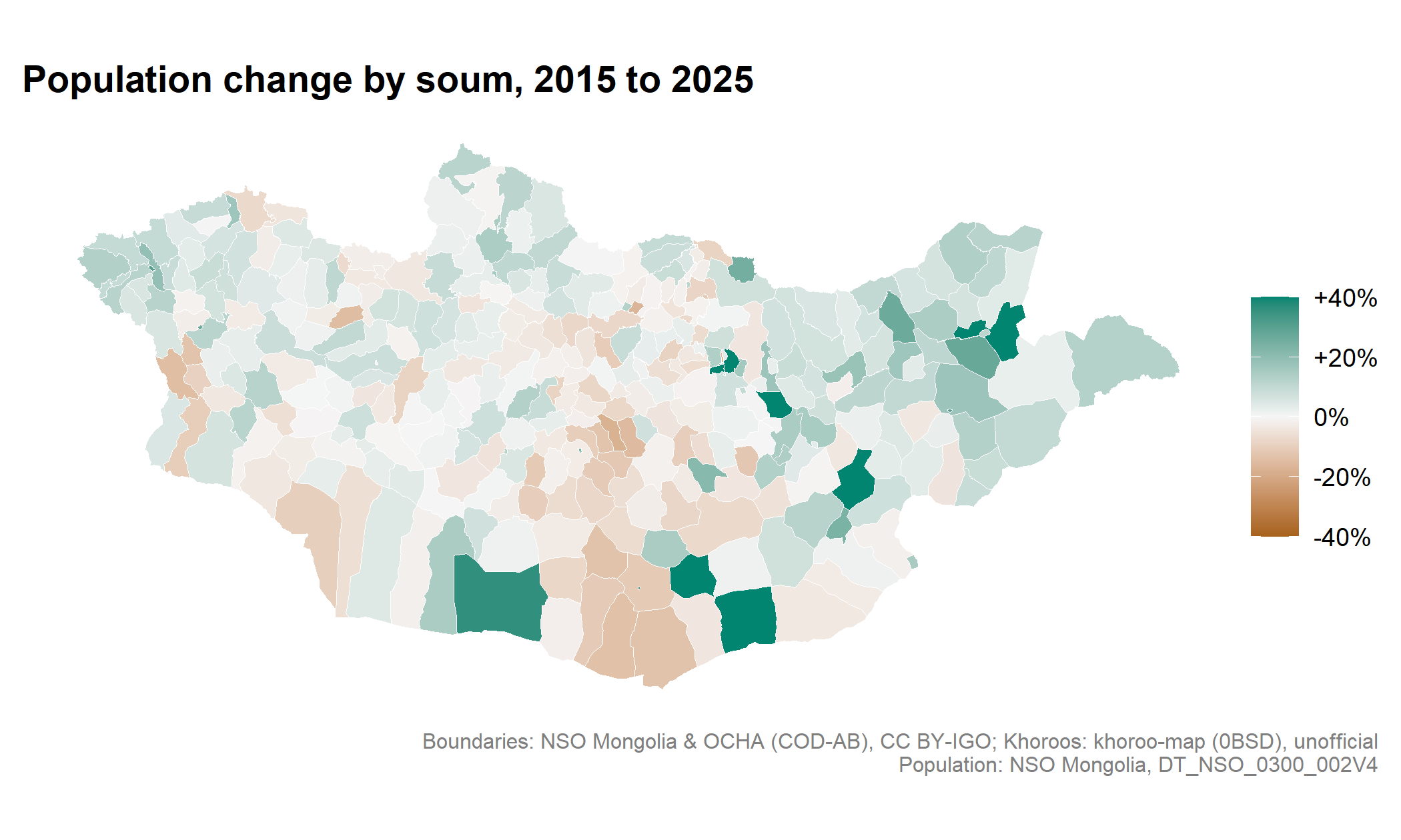
Maps of Mongolia and Ulaanbaatar for R. Version 0.2.0 is on CRAN.
Ready-to-use boundaries, name matching, and joins with official statistics. The latest release adds checks for unmatched and duplicate records, Ulaanbaatar inset maps, and more accurate raster summaries.
Official Mongolian statistics, ready for analysis in R.
I built mongolstats to make official Mongolian statistics easier to use: discover datasets, retrieve tidy data, and connect them with administrative boundaries, directly from R.